
BY TINA L. SCOTT
EDITOR
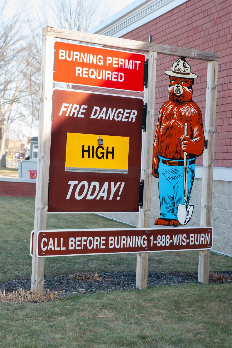
As of early morning on Tuesday, March 5, 2024, fire danger had returned to a low rating in much of northern and northcentral Wisconsin, thanks to Sunday’s rain and Monday’s rain and light snowfall. But a grass fire northeast of Merrill on Saturday was a reminder that this unusual winter and the lack of snowfall and spring snowmelt is resulting in a much earlier start to fire season, higher risk of fires, and what will likely be a long fire season, according to the Wisconsin Department of Natural Resources (DNR). “This year already, the DNR has responded to 138 wildfires, burning nearly 300 acres,” the DNR said in a Monday morning report. For comparison, the 10-year average – or what would be more typical for this time of year in a “normal” winter – is four fires, burning about two acres.
Most of rural Lincoln County and good portions of Marathon County are in a DNR Protection Area, meaning the DNR regulates outdoor burning. In these areas, residents should go to apps.dnr.wi.gov/wisburn/#/BurnRestrictions daily after 9 a.m. to view any burning restrictions for that date and should also get a DNR burn permit. DNR burning permits and daily burn restrictions apply anytime the ground is not completely snow-covered, the DNR advises. Small campfires for warming or cooking purposes do not require a DNR burning permit.
Within the City of Merrill and the City of Tomahawk, burning restrictions are monitored by burning ordinances within that respective municipality.
Other rural areas [in our area, primarily applicable to Marathon County] that are not within a DNR Protection Area are in a DNR Cooperative Area, meaning local townships or fire departments typically regulate the burning restrictions and burning permits. Contact town chairpersons, fire departments, or county or local officials to determine burning permit requirements or burning restrictions in these areas.
Even using the DNR’s online map, the following disclaimer applies: “No guarantee is made regarding the accuracy of the user’s selected location. It is your responsibility to know where you are burning. If you are not sure where your burn location falls, contact the local DNR office, fire department, town chairperson, or local municipal official for clarification prior to any burning.”